Enterprise Sales & Technical Support Across CanadaFast product access · Configuration · Training · After-sales support

Articles and Blog News | Unmanned Canada filter by Canada

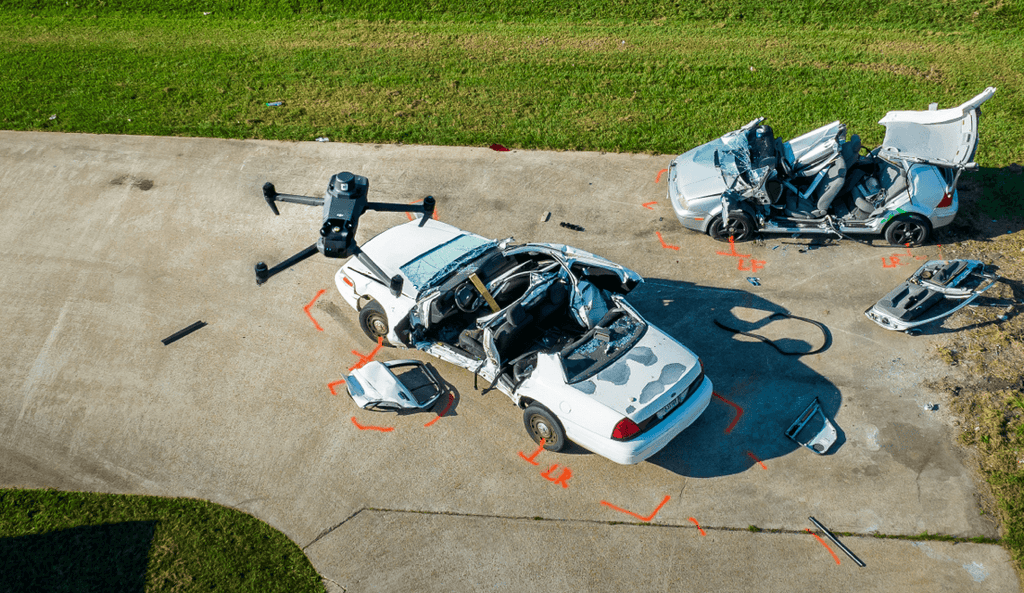
DJI accident-reconstruction illustration showing a drone above damaged vehicles and marked scene boundaries. Source: DJI Enterprise.

DJI FlightHub 2 for Public Safety and Security: A Shared Operational Picture from Air to Ground

Connect pilots, command and ground teams with a shared operational picture. Explore FlightHub 2 livestream sharing, map annotations, multi-device viewing and incident handovers, while keeping verification, information access and flight authority explicit.
by Amir Kadir on November 10, 2026
0
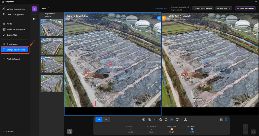
DJI FlightHub 2 Change Detection Pro screenshot comparing two oblique stockpile-site photographs with highlighted vehicles. Source: DJI Enterprise.

DJI FlightHub 2 for Inspection, Monitoring and Surveying: From Repeat Missions to Actionable Results

Move from repeat drone missions to useful inspection and site-monitoring results. Explore FlightHub 2 route planning, Analyzer comparisons, AI-assisted change detection, model review and reporting, with clear limits around defect diagnosis and survey accuracy.

by Amir Kadir on November 10, 2026
0
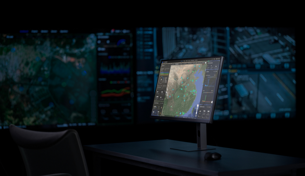
DJI FlightHub 2 promotional command workstation with a central map display and background operational screens. Image: DJI Enterprise.

Starting and Scaling a Drone Program with DJI FlightHub 2: Fleet Tracking, Teams and Operational Control

A growing drone program needs more than additional aircraft. Learn how DJI FlightHub 2 can support project organization, team permissions, live fleet visibility and mission review, with a practical rollout framework for Canadian organizations.

by Amir Kadir on November 10, 2026
0
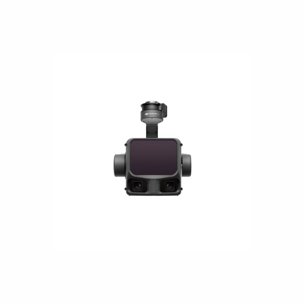
DJI Zenmuse L3 drone LiDAR payload — enterprise-grade airborne scanning for Canadian infrastructure programs

When to Use Drone-Based LiDAR vs. Terrestrial or Manned Aircraft LiDAR — And Why Accuracy Matters

Not all LiDAR platforms are created equal. This guide breaks down when drone-based LiDAR outperforms terrestrial laser scanning and manned aircraft surveys — and why accuracy specifications are the deciding factor for Canadian enterprise programs.
by Mark Manzanero on August 12, 2026
0
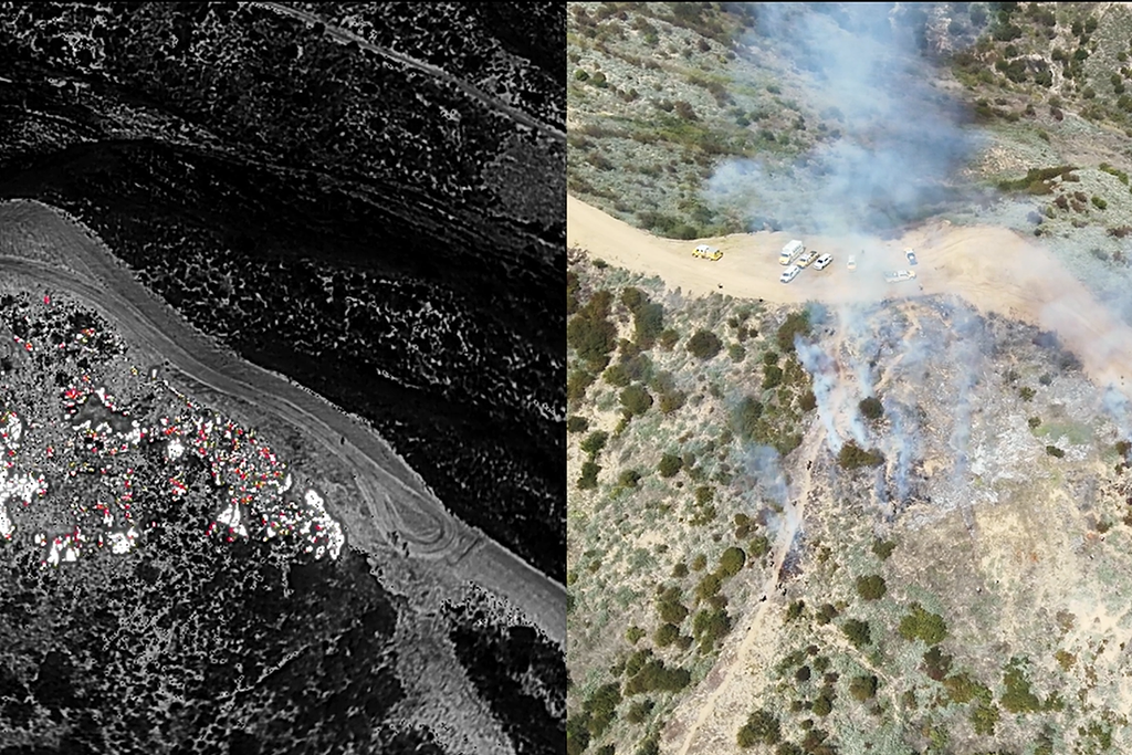
Side-by-side thermal and visible drone imagery used to map wildfire hotspots and support night operations.

Building a Wildfire Drone Program in Canada: Detection, Mapping, and Night Operations

Federal wildfire planning now explicitly references drone and thermal-imaging capabilities. This guide covers thermal detection, fire perimeter mapping, incident airspace management, night operations, and how to build a compliant wildfire drone program for Canadian public safety and forestry agencies.
by Unmanned Canada on August 06, 2026
0

BLOGS

ABOUT

Unmanned Canada is Canada's leading provider of enterprise drone solutions — offering aerial surveying, LiDAR services, drone sales, and pilot training. Based in Ontario, we serve industries across the country with precision technology and expert support.

READ MORE

TAGS

    NEWSLETTER SIGNUP

    Sign up for our e-mail and be the first who know our special offers! Furthermore, we will give a 5% discount on the next order after you sign up.

    BACK TO TOP