| DJI Matrice 4E |
Portable RGB mapping, road and cut-block documentation, rapid site modelling |
Compact deployment, mechanical-shutter mapping camera and RTK-capable workflow |
Best for visible surfaces and canopy imagery; not a substitute for LiDAR beneath dense canopy. |
| DJI Mavic 3 Multispectral |
Vegetation-index mapping, research plots, regeneration and spectral monitoring |
Integrated RGB and multispectral collection in a portable platform |
Requires radiometric consistency, suitable timing and ground interpretation. |
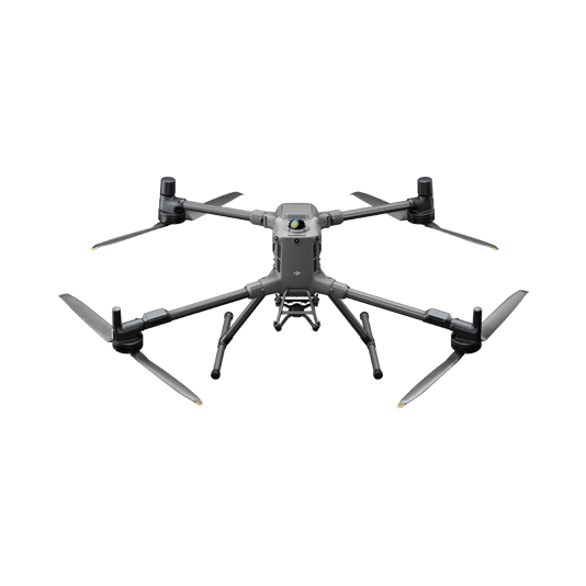
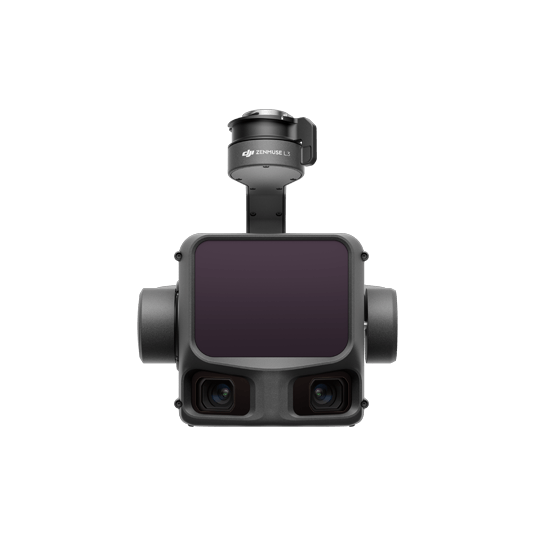
| DJI Matrice 400 + Zenmuse L3 |
Large-area, high-efficiency forest LiDAR and RGB mapping |
Long-range LiDAR, dual high-resolution RGB cameras and high daily coverage potential |
Best suited to organizations with advanced point-cloud processing, QA and logistics capacity. |
| DJI Matrice 400 / 350 RTK + Zenmuse L2 |
Forest structure, canopy-height models, terrain mapping and established LiDAR workflows |
Integrated LiDAR, RGB and positioning workflow supported through DJI Terra |
Coverage and canopy performance depend on altitude, overlap, scan mode, density and forest conditions. |
| DJI Matrice 4T or Matrice 400 + H30T |
Thermal reconnaissance, hotspot screening, wildlife or asset observation and situational awareness |
Combined visual, zoom and thermal imaging options |
Thermal results are affected by canopy obstruction, time of day, weather and target contrast. |
| DJI Dock 3 + Matrice 4D / 4TD |
Repeatable monitoring of fixed forestry, environmental or remote operating areas |
Scheduled missions and centralized remote workflow through FlightHub 2 |
Requires communications, power, safe siting, weather planning and an approved operating concept. |
| DJI Terra, D-RTK 3 & FlightHub 2 |
Processing, positioning, fleet management and repeatable operations |
Connects collection to map, point-cloud and operational-management workflows |
Software licensing, workstation specifications, data storage and staff capability should be budgeted from the start. |