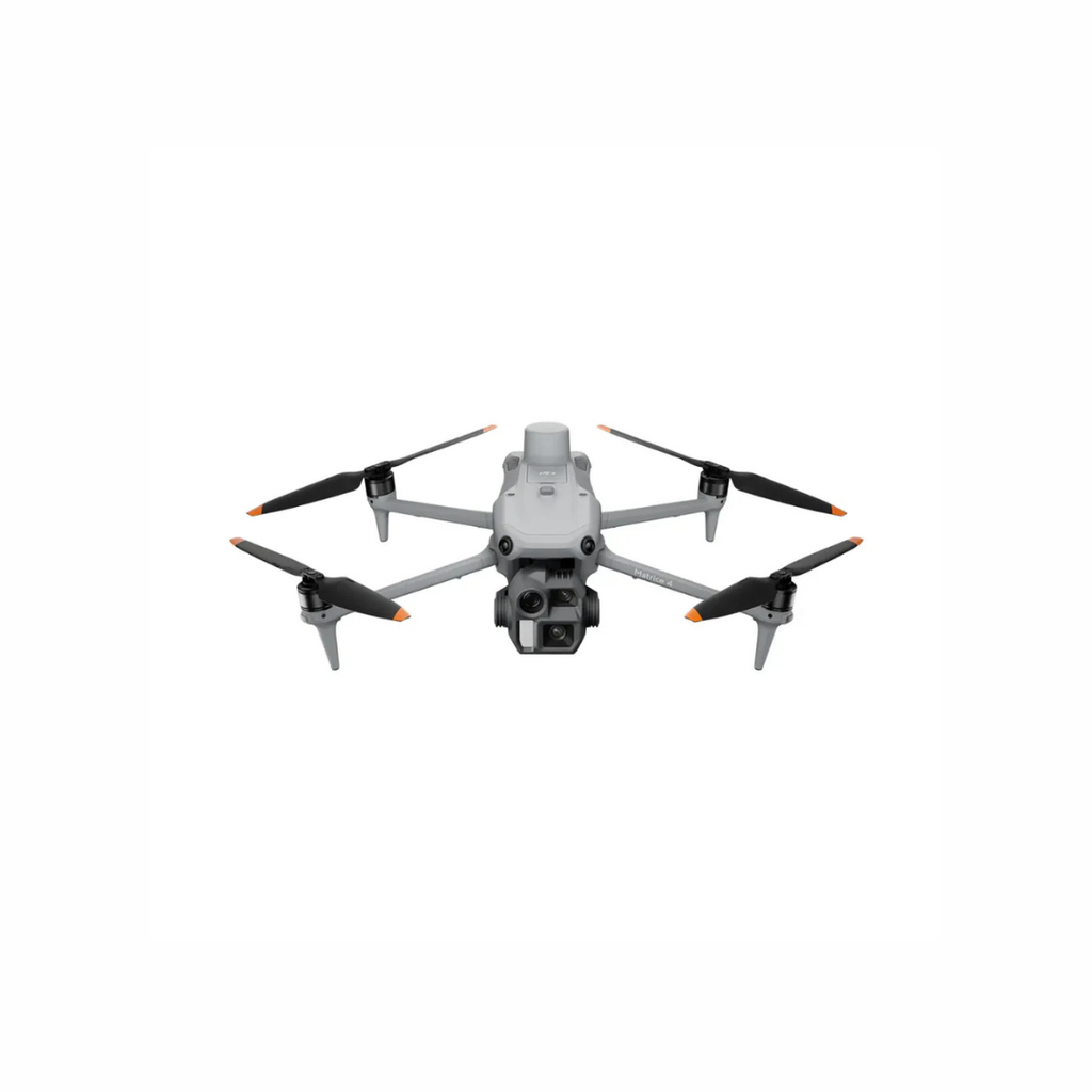
| DJI Matrice 4E |
Stockpile volumes, pit and quarry mapping, progress and site documentation |
Portable mapping platform with mechanical shutter, RTK capability and efficient field deployment |
Flight height, overlap, oblique coverage, control, deep-pit geometry and software determine suitability. |
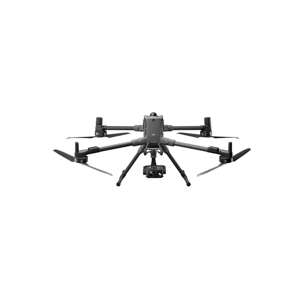
| DJI Matrice 400 + Zenmuse L3 |
Large-area LiDAR, complex terrain, topography and high-efficiency 3D collection |
Long-range LiDAR, dual high-resolution RGB mapping cameras and enterprise platform endurance |
Requires larger logistics, positioning control, processing capacity, trained crews and a clear accuracy framework. |
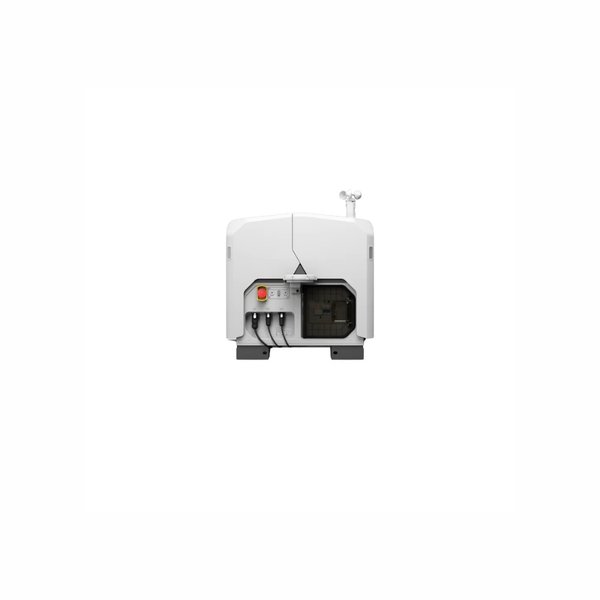
| DJI Dock 3 + Matrice 4D |
Scheduled progress, recurring site imagery and remote operational monitoring |
Remote launch, charging, weather protection and centralized workflows through FlightHub 2 |
Requires reliable power/network, site placement, dust and weather planning, airspace authority and remote contingencies. |
| DJI Matrice 350 RTK + Zenmuse P1 or L2 |
Existing modular survey fleets, photogrammetry and LiDAR collection |
Field-proven platform with hot-swappable batteries and broad payload compatibility |
Still valuable in established programs; compare lifecycle, sensor generation and support against newer pathways. |
| D-RTK 3, Control & Checkpoints |
Positioning, local site coordinates and independent accuracy verification |
Connects aerial data to a repeatable control framework |
Control design, datum transformations, benchmark quality and professional responsibility must be defined. |
| DJI Terra, FlightHub 2 & Third-Party Mine Software |
Processing, measurements, collaboration, recurring missions and integration |
Connects collection to models, volumes, operations and reporting |
Licensing, computing, exports, coordinate systems, cybersecurity, storage and integration should be budgeted. |