
 LiDAR · Terrain
LiDAR and terrain
Surface and bare-earth data for complex sites, corridors and larger areas.
Commercial drone data collection for LiDAR, mapping, thermal inspection, construction progress and aerial media.

Level 1 Complex certification pending. Sub-centimetre deliverable targets are scoped for suitable controlled projects and confirmed against project control and validation requirements.
Explore aerial services
Choose the service that fits the decision you need to make. We can scope a single mission or repeat collection over time.
LiDAR · Terrain
Surface and bare-earth data for complex sites, corridors and larger areas.
 Mapping · Survey
Georeferenced aerial records for planning, measurement and site review.
 LiDAR · Measurement
Repeatable measurements and visual records for earthworks and material stockpiles.
 Construction · Monitoring
Scheduled visual updates to help teams review activity and changing site conditions.
 Thermal · Inspection
Thermal and visual collection for infrastructure, energy assets and field operations.
 Photo · Video
Professional aerial photography and video for properties and smaller commercial projects.
Scope the target, flight conditions and reporting needs before collection. Radiometric R-JPEG capture and analysis are available for supported sensor workflows.

Deliverables can include orthomosaics, classified point clouds, terrain models, DEMs, surface models, volume reports, annotated inspection imagery, thermal captures and progress comparisons.
Browse the available systems by application. Product links go to Unmanned Canada; manufacturer links provide DJI specifications or software information.
Collection, positioning and processing in one LiDAR workflow.
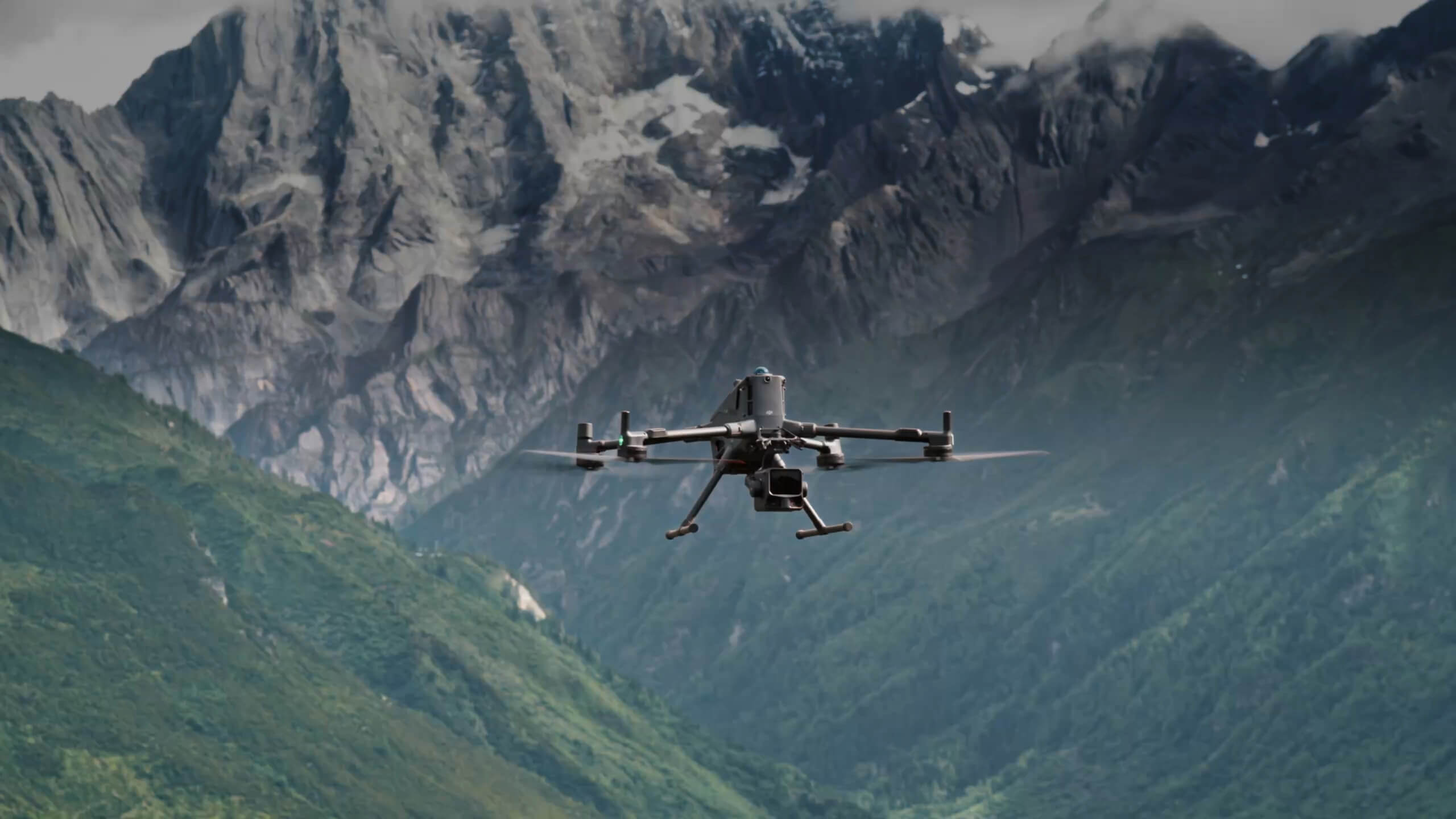
The primary LiDAR configuration for terrain, topo, corridors, larger sites and volumetric collection.
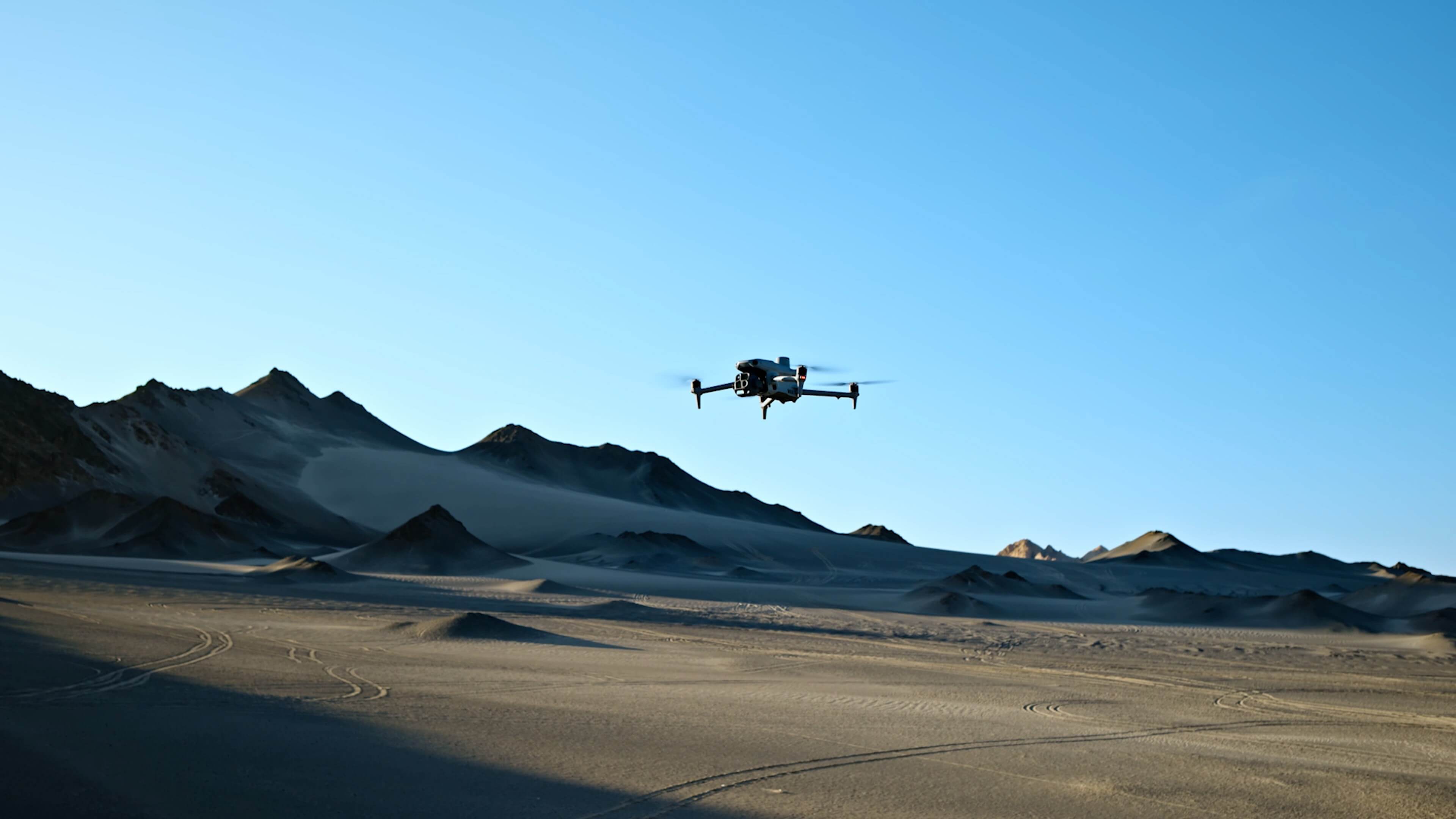
Compact mapping aircraft for photogrammetry, orthomosaics, 3D models and site records.
Visual and infrared collection for assets, facilities and field operations.

Thermal and visual capture for infrastructure inspection, mapping and field monitoring.
Scheduled aerial visibility for mining, construction and operations.
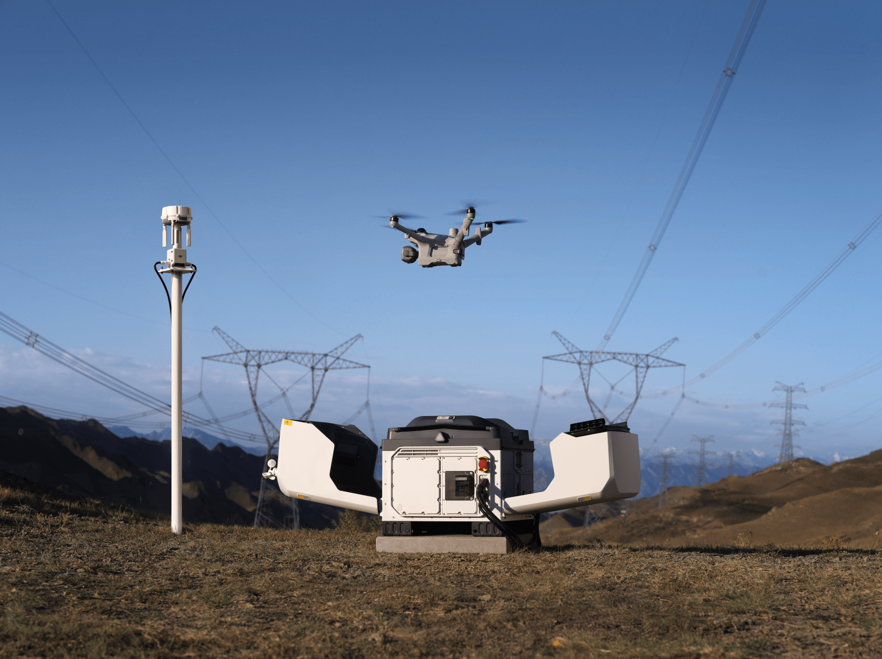
Dock-based system for planned, repeatable remote inspection, monitoring and site progress missions.
Compact aircraft for real estate and smaller commercial shoots.
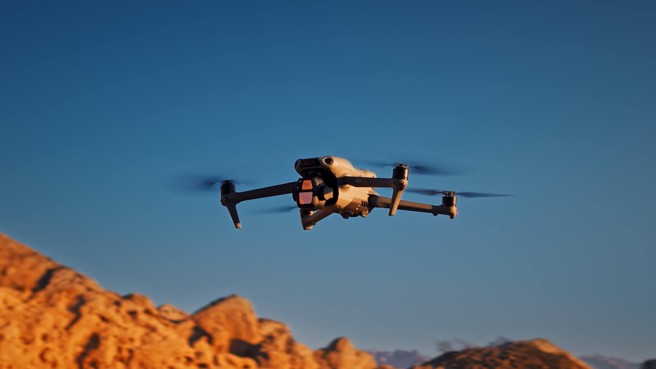
Compact option for real estate, property, tourism and small commercial photo or video.
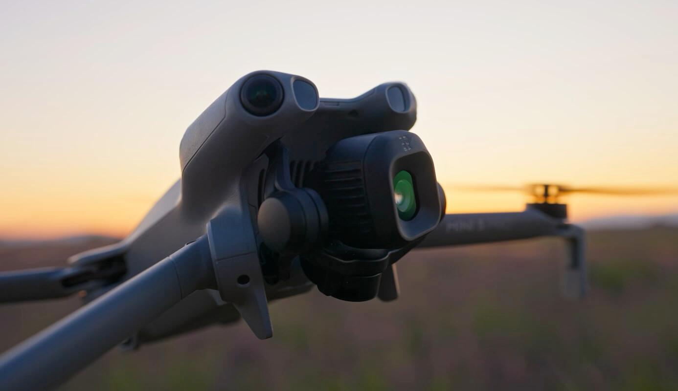
Lightweight choice for smaller properties, quick visual updates and compact media shoots.
Share the location, project goal, timing and preferred deliverables. We’ll help scope the right aircraft, collection plan and data package.

