
Define The Deliverable
Start with what the team must measure, see, map, inspect, apply or move. The deliverable determines the sensor and platform path.
Enterprise Drone Comparison · Canada
Start with the mission, narrow the platform and compare the details that affect real operations. Explore mapping, thermal, autonomous, LiDAR, agriculture and delivery systems in one guided tool.

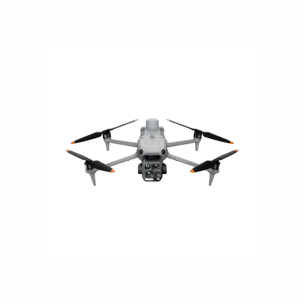

Start With The Outcome
Choose a mission to immediately narrow the platform list. You can change the filter at any time.
Interactive Drone Finder
Make three quick choices. The finder weighs mission, operating style and your most important priority.
Popular Head-To-Head Choices
These are common decision points where the sensor, capacity or deployment method changes the correct answer.
Explore Current Platform Paths
Each card shows the decision-critical information first. Select models to build a detailed side-by-side comparison.
Manufacturer maximums are measured under defined test conditions. Actual performance varies with payload, battery mode, weather, elevation, firmware, route design and operating reserve. Confirm the complete configuration before purchase.
How To Make The Final Decision
A strong recommendation connects the required result to the sensor, operating environment, supporting equipment and team workflow.
Start with what the team must measure, see, map, inspect, apply or move. The deliverable determines the sensor and platform path.
Mechanical-shutter RGB, radiometric thermal, multispectral, LiDAR, zoom and cargo systems solve different problems.
Weather, wind, elevation, terrain, radio conditions, launch area and access all affect real operating performance.
Battery quantity, field charging, refill cycles, transport, crew size and expected daily coverage can change the right configuration.
Plan positioning, storage, processing software, fleet management and delivery of final data before hardware is ordered.
Training, Canadian compliance, care coverage, spares, maintenance and internal procedures belong in the purchase plan.
Two teams can buy the same aircraft and require very different systems. Unmanned Canada can scope the complete package around the mission and procurement stage.
Canadian Enterprise Guidance
Tell us what your team needs to accomplish, where the system will operate and what result you need. We can help compare the aircraft, payloads, software, training and support direction.
Frequently Asked Questions
For new compact RGB mapping procurement, Matrice 4E is the primary portable path because it combines a 20 MP 4/3 camera, mechanical shutter, integrated RTK and fast interval capture. Matrice 4D adds Dock 3 automation, while Matrice 400 supports larger modular mapping and LiDAR payloads. The correct choice depends on coverage, accuracy, sensor and deployment frequency.
Choose Matrice 4E when dedicated photogrammetry, construction mapping or detailed RGB documentation is the main deliverable. Choose Matrice 4T when radiometric thermal, zoom, low-light imaging and public-safety or inspection awareness are more important. Matrice 4T can create situational maps, but it is not the same dedicated mechanical-shutter mapping tool.
Matrice 400 is the stronger path when the mission requires interchangeable payloads, LiDAR, advanced multi-sensor configurations, higher weather readiness, longer endurance or payload integration. A compact Matrice 4 aircraft is usually faster to transport and deploy when its fixed sensor suite already matches the deliverable.
Not every recurring mission needs a dock. Dock 3 is most valuable when the operation benefits from a protected, charged aircraft at a known site, remotely managed missions and repeatable route execution. Site readiness, connectivity, approvals, weather, security and operational oversight must all be planned.
Unmanned Canada treats Mavic 3E as a legacy platform for new RGB mapping procurement and recommends evaluating Matrice 4E first. Mavic 3M remains a current specialized multispectral path, and support or replacement decisions for existing Mavic 3 Enterprise fleets can still be reviewed.
Yes. The page focuses on current core platform paths, but the team can compare additional DJI systems, North American or NDAA-aligned platforms, specialty sensors and third-party integrations based on availability and mission requirements.
Include the mission, required deliverable, operating location, environment, frequency, approximate coverage or route, payload or sensor needs, desired timeline, current equipment and any known budget range. “Not sure” is a useful answer where requirements are still being defined.
