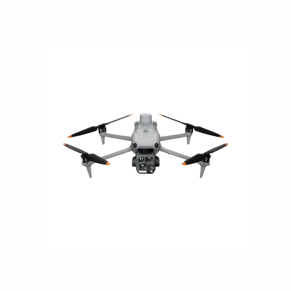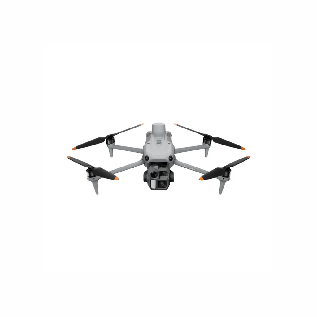
DJI Matrice 4E
A compact mechanical-shutter mapping platform built for surveying, construction, mining, site documentation and detailed visual inspection
Compact flagship intelligence for high-speed mapping, detailed inspection, thermal response and everyday enterprise operations
Choose the Matrice 4E for precision mapping and visual inspection, or the Matrice 4T when thermal intelligence, public safety and low-light response are central to the mission
A compact mechanical-shutter mapping platform built for surveying, construction, mining, site documentation and detailed visual inspection
A portable multi-sensor thermal system for public safety, utilities, search support, industrial inspection, environmental monitoring and low-light operations
Manufacturer maximums measured under controlled conditions. Actual performance depends on configuration, payload, weather, environment, firmware and applicable Canadian operating requirements
The two aircraft share a compact intelligent platform, but their primary cameras and operational strengths are different
| Decision Point | DJI Matrice 4E | DJI Matrice 4T |
|---|---|---|
| Best Fit | Surveying, mapping, construction, mining, site documentation and detailed visual inspection | Public safety, emergency response, thermal inspection, utilities, security and environmental monitoring |
| Primary Wide Camera | 20 MP 4/3 CMOS camera with mechanical shutter and adjustable aperture | 48 MP 1/1.3-inch CMOS wide camera optimized for multi-sensor observation |
| Thermal Imaging | Not included | 640 × 512 radiometric thermal camera with high-resolution mode up to 1280 × 1024 |
| Mapping Strength | 0.5-second interval shooting, mechanical shutter and Smart 3D Capture | Suitable for situational mapping where thermal and visual context matter more than dedicated high-speed photogrammetry |
| Low-Light Strength | Enhanced low-light visual positioning and intelligent imaging | Thermal, NIR auxiliary light and low-light visual imaging for demanding response workflows |
| Choose This Model When | Your final deliverable is an orthomosaic, 3D model, site record or high-detail RGB dataset | Your team needs to find heat, inspect assets, see at night or build real-time situational awareness |
Send us your required output, operating environment and typical mission duration. We can recommend the aircraft, batteries, software, protection and training package together
Its mapping-focused wide camera, integrated RTK and intelligent route tools are designed to help teams collect repeatable RGB data efficiently without moving to a larger payload aircraft
Capture at 0.5-second intervals while mapping at speeds up to 21 m/s under supported conditions
A 20 MP 4/3 CMOS wide camera supports precise photogrammetry and reduces motion-related distortion
Create a rough model on the controller and generate detailed routes around irregular structures
Thermal measurement, visual zoom, rangefinding and night-support tools work together in one portable aircraft for inspection and time-sensitive response
Measure spot and area temperatures with a 640 × 512 infrared sensor and high-resolution imaging mode
Wide, medium telephoto and telephoto cameras help teams move from broad awareness to targeted detail
NIR illumination, low-light visual capabilities and electronic dehazing support demanding environments
The Matrice 4 Series combines multiple sensors, assisted workflows and enterprise transmission in a compact daily-use platform
Mark and measure distant subjects while preserving location context for inspection, response and coordination workflows
Up to 25 km FCC transmission under unobstructed, interference-free test conditions with a 1080p controller live view
Supported smart detection and mission assistance help reduce repetitive observation work and accelerate response
Omnidirectional vision sensing, terrain information and visual positioning support safer planning and return workflows
A 7.02-inch, 1,400-nit display keeps mission information visible while DJI Pilot 2 centralizes aircraft and sensor control
Start with the mission and the required evidence, then choose the model and software workflow that produces it
Orthomosaics, site models, topographic context and repeatable project documentation
Recommended Model: 4EProgress capture, stockpile documentation, surface models and visual records for project teams
Recommended Model: 4EThermal anomalies, visual detail, asset location context and safer stand-off observation
Recommended Model: 4TRapid overhead awareness, search support, scene context and coordinated incident information
Recommended Model: 4TWildlife observation, heat-source detection, habitat documentation and remote-area assessment
Recommended Model: 4TClose visual documentation and telephoto context for buildings, bridges and industrial assets
Evaluate: 4E Or 4TThe useful system is more than the aircraft. Configure the full workflow around your data output, mission tempo and team
Matrice 4E for mapping and RGB data or Matrice 4T for thermal and multi-sensor operations
Choose network RTK or D-RTK 3 support based on accuracy, connectivity and site conditions
Use DJI Terra for reconstruction and FlightHub 2 for mission, team and fleet coordination
Add batteries, protection, training, onboarding and a support plan for reliable field use
The Matrice 4D Series is purpose-built for Dock 3 deployments. It is a different procurement path from the portable Matrice 4E and 4T systems shown above
Designed for automated visual inspection, mapping and recurring remote missions without a thermal camera
Designed for automated thermal inspection, public safety and night-response workflows through Dock 3
Get help connecting the aircraft to the people, software, accessories and support required for day-to-day operations
Confirm whether the 4E, 4T or a Dock 3 aircraft best matches the work and final deliverable
Plan batteries, RTK, software, accessories and protection as one compatible package
Prepare pilots and team members for the equipment, mission workflow and operating environment
Access product guidance, after-sales assistance and lifecycle support from a Canadian enterprise partner
Quick answers for Canadian organizations comparing, configuring and purchasing a Matrice 4 system
The Matrice 4E is optimized for surveying, mapping and detailed RGB capture with a 20 MP 4/3 camera and mechanical shutter. The Matrice 4T adds radiometric thermal imaging, NIR illumination and a multi-sensor suite suited to inspection, public safety and low-light work
Yes. The portable Matrice 4E and 4T include an integrated RTK module. The appropriate correction workflow may involve network RTK or a compatible D-RTK station depending on site connectivity, accuracy requirements and operating procedure
Yes. The Matrice 4T supports radiometric spot and area temperature measurement. Its thermal system has standard 640 × 512 resolution and a high-resolution imaging mode up to 1280 × 1024
Yes. Its 20 MP 4/3 CMOS mechanical-shutter camera, integrated RTK, rapid interval capture and Smart 3D Capture make it a strong compact option for professional photogrammetry. Accuracy still depends on mission design, positioning, control, processing and QA procedures
No. Matrice 4D and 4TD are built for DJI Dock 3 remote operations, while Matrice 4E and 4T are portable systems operated with the RC Plus 2 Enterprise controller. A Dock 3 deployment also requires site, communications and operating-workflow planning
A practical package may include the selected aircraft, an appropriate battery pool, charging equipment, RTK support, DJI Terra or FlightHub 2 where required, DJI Care Enterprise, training and deployment support. The correct mix depends on your daily mission tempo and final output
Demonstrations and rental access are subject to location, scheduling and current inventory. Send Unmanned Canada your organization, location and intended use so the team can confirm the most suitable evaluation path
Share your application, required output, operating environment and preferred timeline. We will help match the aircraft, accessories, software, training and support package
Product capabilities, compatibility, pricing and availability can change. Confirm the current Canadian configuration, firmware, accessories and applicable operating requirements before procurement and deployment