
Hull, Propeller & Rudder Inspection
Document biofouling, coating condition, corrosion, impact marks, entanglement, propulsion components and other visible conditions without dry docking for every preliminary check.
Remotely operated vehicles can help marine, municipal, industrial, public-safety and research teams inspect submerged assets while reducing unnecessary diver exposure. The useful outcome is not simply underwater video—it is a controlled visual, sonar, measurement or positioning record that can be connected to the correct asset, location and maintenance decision.
This guide explains where compact and industrial ROVs, imaging sonar, distance sonar, USBL positioning, laser measurement, manipulators, tether systems and shore power fit within hull, dock, dam, intake, tank, pipeline, aquaculture and search workflows. It also addresses visibility, current, depth, access, surface support, documentation and Canadian site requirements.
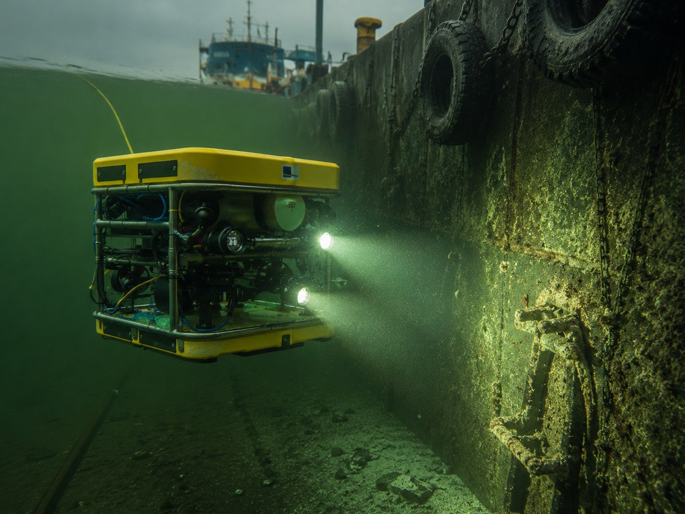
Important: The ROV is one part of a complete inspection system that also includes surface support, tether management, lighting or sonar, positioning, documentation, qualified interpretation and site controls.
Select a topic below to move directly to that part of the underwater-inspection consultation guide.
ROVs are most useful when they shorten the time to a reliable underwater observation, improve inspection frequency or reduce exposure in unknown, deep, confined or low-visibility environments.
Document biofouling, coating condition, corrosion, impact marks, entanglement, propulsion components and other visible conditions without dry docking for every preliminary check.
Inspect gates, screens, trash racks, walls, joints, pipes, submerged concrete and access limitations while reducing the need to place personnel in flowing or difficult water.
Review piles, footings, braces, corrosion, scour indicators, debris, marine growth and structural interfaces from planned viewing distances.
Support visual checks of reservoirs, process tanks, clarifiers and other contained-water assets when access, cleanliness, tether routing and electrical controls are properly planned.
Use video, sonar, positioning and manipulation tools to locate and confirm submerged vehicles, equipment, evidence or other targets in rivers, lakes, harbours and coastal environments.
Inspect nets, cages, moorings and habitats; document biofouling or damage; observe aquatic conditions; and support repeatable scientific or environmental fieldwork.
A dependable underwater inspection begins before deployment. The team should define the target, expected condition, water environment, navigation method, required evidence and surface-support plan together.
Identify the asset, component, defect, search object, inspection standard, required measurement and decision the mission must support.
Confirm depth, current, visibility, access, launch point, tether route, vessel or shoreline support, communications and recovery procedures.
Use video, lighting, sonar, positioning or measurement tools while controlling tether load and recording depth, heading, location and operator observations.
Link footage, sonar, measurements and notes to the correct asset or search area, identify limitations and define follow-up by divers, engineers or maintenance teams.
Important: Clear video does not automatically prove structural integrity, and poor video does not mean the mission has failed. Visibility, angle, marine growth, lighting, sonar interpretation and qualified review determine what can be concluded.
The useful result may be a visual hull record, a tank inspection, a sonar target, a measured defect or a positioned search track. Each output requires a different ROV, accessory and surface-support plan.
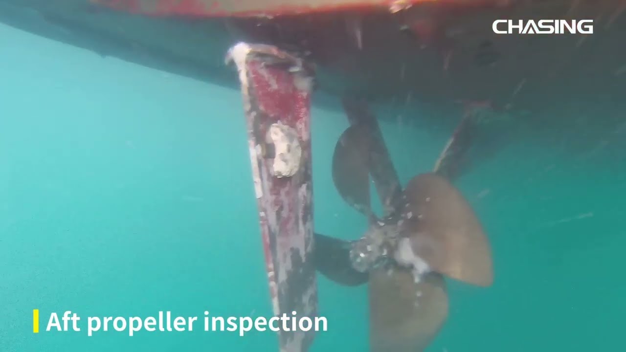
Repeatable underwater video can support vessel checks, pre- and post-voyage documentation and maintenance planning.
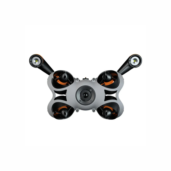
Compact ROVs can provide real-time views where access, cleanliness and diver exposure are important planning factors.
A configurable platform can combine multiple tools for low-visibility inspection, measurement, search and longer-duration missions.
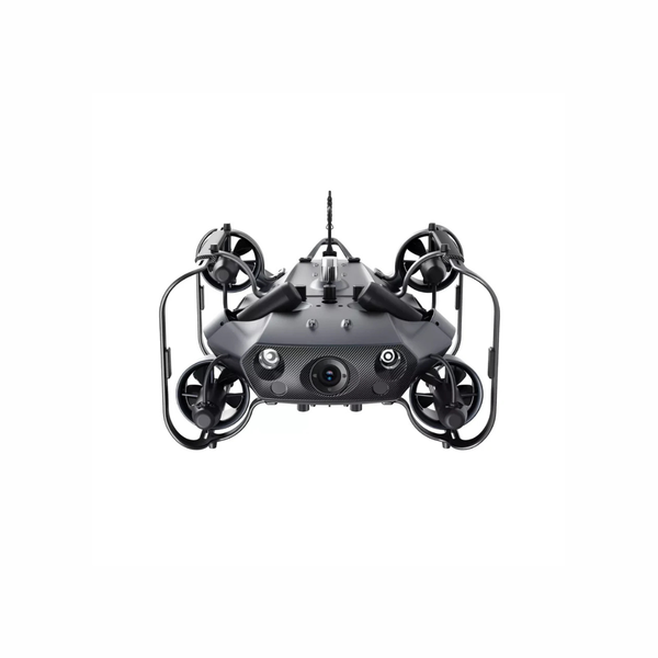
Larger systems provide more depth, speed and current resistance for demanding marine, industrial and public-sector missions.
The correct configuration depends on the target, depth, visibility, current, access, required runtime, location confidence and whether the mission requires observation, measurement or interaction.
| Inspection Question | Typical Deliverable | Technology Path | Key Planning Limits |
|---|---|---|---|
| What is the visible condition of the submerged asset? | 4K video, still images, narrated record or component checklist | ROV camera, adjustable lighting and stable close-range control | Turbidity, backscatter, marine growth, angle, current and lighting determine usable detail. |
| How can the team navigate when visibility is poor? | Sonar image, distance reference, target bearing or search-sector record | Imaging sonar, distance-lock sonar and a deliberate search pattern | Sonar requires trained interpretation and does not provide the same surface detail as optical imagery. |
| Where is the ROV or target underwater? | ROV track, approximate coordinates, target mark or inspection path | USBL positioning, surface GPS and compatible mission software | Acoustic conditions, geometry, calibration, water depth and surface movement affect positioning confidence. |
| How large is a crack, object or area of marine growth? | Scaled image, reference measurement or documented dimensions | Laser scaler, known stand-off and stable camera orientation | Perspective, surface angle, ROV movement and laser visibility can affect the measurement. |
| Does the mission require retrieval or physical interaction? | Recovered object, moved obstruction, sample or manipulated component | Grabber claw, sampler or compatible manipulator | Object weight, shape, current, tether load, vehicle stability and tool reach limit what can be handled. |
| Does the inspection require long runtime or deep operation? | Extended visual or sonar coverage without frequent recovery | Removable batteries, spare packs, shore power or a larger enterprise ROV | Depth, tether length, current, deployment platform, crew size and recovery planning determine practicality. |
Each tool answers a different underwater question. A capable ROV becomes a complete inspection system only when the sensor, navigation, power and documentation workflow match the mission.
Provides live video and still images for hulls, infrastructure, tanks, aquaculture and search work. More light is not always better because suspended particles can create backscatter.
Uses acoustic returns to help locate targets, understand structure geometry or maintain distance when the camera cannot see far enough. Interpretation requires practice and context.
Estimates the underwater position of the ROV relative to a surface unit. It can support search grids, inspection paths and target marking when properly installed and calibrated.
Projects known laser spacing into the image to support approximate sizing of cracks, corrosion, biofouling or objects when the vehicle and camera are held in a suitable orientation.
Allows the ROV to retrieve light objects, move small debris, collect selected samples or support specialized inspection tasks within the tool and vehicle limits.
The tether carries communications and can become the largest navigation constraint. Reel placement, payout, drag, snag risk and surface coordination should be planned before launch.
Battery systems support portable deployment, while compatible shore-power systems can extend fixed-location missions where longer runtime justifies additional surface equipment.
Useful outputs connect video, images, sonar, depth, location and operator notes to the correct asset or search area. File naming and review procedures matter as much as capture quality.
This official CHASING overview shows how underwater ROVs can support hull checks, entanglement review and other marine-inspection tasks while reducing the need to deploy divers for every initial observation.
A useful consultation begins with the submerged target, water environment, required evidence and surface-support model—not a product name.
Underwater ROV operations use a different planning framework from aerial drones. Site authority, marine traffic, vessel safety, occupational procedures, environmental protection, diver coordination and data handling should be addressed before deployment.
Build launch authority, tether control, marine-traffic awareness, communications, recovery procedures and environmental safeguards before the ROV enters the water. Most underwater problems become surface-team problems very quickly.
Confirm permission from the asset owner, vessel operator, port authority, marina, municipality or facility. Some ports require underwater inspectors or divers to be specifically authorized before operating in port waters.
Review Transport Canada in-water inspection guidanceWhere a boat is used, follow the applicable vessel, competency, lifesaving, navigation and communications requirements. Protect the tether and deployment area from propellers and passing traffic.
Review Transport Canada boating safety resourcesROVs can reduce diver exposure, but operations involving commercial divers remain subject to applicable provincial, territorial and site-specific diving requirements. Keep the ROV and tether separated from divers unless the activity is deliberately coordinated.
Review Ontario diving-operation requirementsAvoid disturbing habitat, spreading aquatic invasive species or introducing contaminants. Sampling, manipulation, cleaning or work that may affect fish or fish habitat can require additional review or authorization.
Review Fisheries Act responsibilitiesImportant: Marine, workplace, environmental, port and professional requirements change over time and should not be treated as legal, engineering or diving advice. Confirm current federal, provincial, territorial, municipal, port, vessel, site-owner and project-specific requirements before each operation.
A pilot project should test the complete chain—from deployment and tether control to target visibility, accessory performance, reporting and post-mission maintenance.
Select the target, environment, deliverable, operating model and measurable success criteria.
Test representative depth, current, visibility, access and tether conditions with the intended team.
Confirm video, sonar, positioning, measurement, runtime and reporting against known targets.
Create deployment, tether, navigation, naming, cleaning, maintenance and escalation procedures.
Expand ROVs, accessories, crews or operating sites after repeatability and support are proven.
These are neutral starting points for consultation. The correct system depends on depth, current, visibility, runtime, portability, accessory load, surface support and the required deliverable.
Platform Note: Maximum depth and camera resolution do not determine the best ROV by themselves. Current resistance, tether drag, deployment access, sonar, positioning, power and the crew’s ability to recover the system matter just as much.
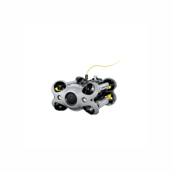
For fast hull, dock, aquaculture, tank, research and search-support work where portability and a 100 m depth rating are the main priorities.
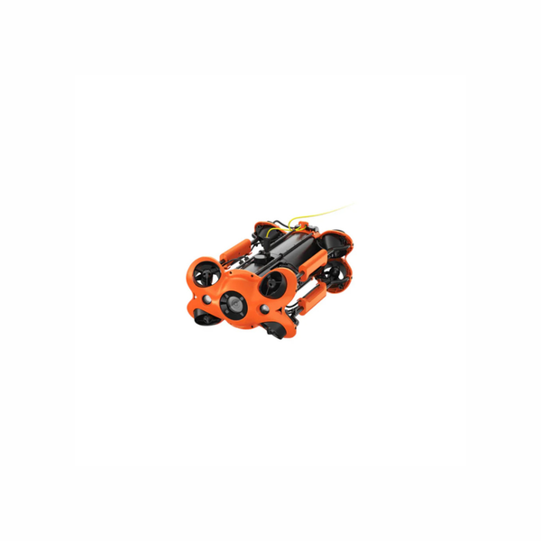
For frequent hull, infrastructure, aquaculture and search missions that need a 150 m depth rating, strong movement and flexible accessory support.
For 200 m inspection, sonar, USBL, manipulation and long-duration missions that benefit from five-port integration and an optional shore-power path.
For demanding marine environments requiring a 350 m depth rating, higher speed, stronger current resistance and enterprise accessory integration.
| System Path | Typical Inspection Role | Strengths | Planning Notes |
|---|---|---|---|
| CHASING M2 S | Routine visual inspection, aquaculture, tanks, research and rapid search support | Compact single-person deployment, 100 m depth rating, 4K imaging and removable battery | Best where portability matters more than heavy accessory integration or maximum current resistance. |
| CHASING M2 Pro | Professional hull, dock, bridge, water-infrastructure and search missions | 150 m depth rating, omnidirectional control, strong movement and broad accessory pathway | Balance tether length, current, batteries, sonar and surface equipment against field portability. |
| CHASING M2 Pro Max | Industrial inspection, sonar, USBL, manipulation and long-duration fixed-location work | 200 m depth rating, five accessory ports and optional C-SPSS shore power | Requires more transport, setup, power and accessory planning than lighter portable systems. |
| CHASING X | Deep-water, high-current and complex enterprise underwater operations | 350 m depth rating, up to 4.5 kn forward speed and enterprise platform capability | Plan for a larger crew, deployment platform, tether management, transport and professional support. |
| Sonar, USBL, Laser & Manipulators | Low visibility, positioning, measurement, search and interaction | Extends the mission beyond visual observation alone | Confirm electrical, mechanical and software compatibility with the exact ROV and mounting configuration. |
| Reels, Batteries, Shore Power & Spares | Field endurance, deployment control and operational readiness | Improves mission duration, tether handling and recovery resilience | Plan transport, charging, connectors, seal inspection, freshwater rinsing and spare-part availability. |
Share the target, depth, water visibility, current, access point, required runtime and whether the mission needs video, sonar, positioning, measurement or manipulation. Unmanned Canada can help structure the ROV, tether, power, accessory and support package before moving into a formal quote.
Common questions from marine operators, municipalities, industrial facilities, public-safety teams, aquaculture operations and researchers evaluating underwater ROV systems.
An ROV can replace or reduce diver deployment for many preliminary visual, sonar and documentation tasks. Divers may still be required for hands-on testing, repairs, cleaning, certified inspection or work that exceeds the ROV’s visibility, tooling or access capability.
Imaging sonar can help locate structures and targets, while distance sonar can support controlled stand-off. The mission may shift from visual navigation to sonar-led navigation, followed by close-range visual confirmation where possible.
M2 S prioritizes portability and fast single-person deployment. M2 Pro adds deeper operation and stronger professional accessory capability. M2 Pro Max is the more industrial platform, with a 200 m depth rating, five-port accessory integration and a shore-power pathway.
CHASING X is better suited to demanding enterprise work involving deeper water, faster current, larger search or inspection areas and more substantial deployment support. It should be treated as a professional system rather than a compact carry-on ROV.
USBL is useful when the team needs to track the ROV, document an inspection route, mark a target or coordinate a larger search area. It may be unnecessary for simple visual checks in a small, known asset where the tether and structure provide enough reference.
Tether length should reflect depth, horizontal reach, deployment geometry and a practical reserve. More tether increases reach but also adds drag, handling time, storage and snag exposure, so the longest option is not automatically the best option.
Yes. A complete package can include the ROV, controller, tether and reel, spare batteries, shore power, sonar, USBL, laser scaler, grabber, lighting, cases, training, demonstrations, spares and deployment planning.
