Enterprise Sales & Technical Support Across CanadaFast product access · Configuration · Training · After-sales support

Articles and Blog News | Unmanned Canada filter by DJI Enterprise

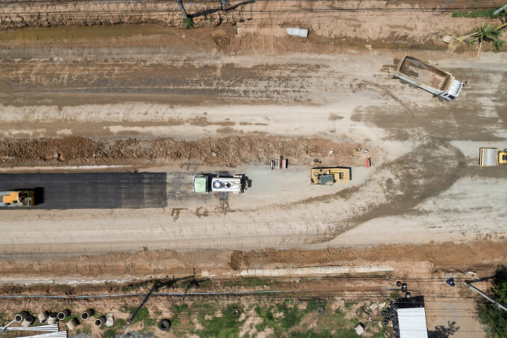
Aerial view of an active construction site captured for drone mapping and progress monitoring.

Drone Mapping for Construction in Canada: From Site Prep to Project Closeout

Drones compress construction survey timelines from days to hours at every project phase. This guide covers baseline surveys, earthworks volumetrics, progress monitoring, as-built documentation, software integration, and the ROI case for Canadian construction firms.
by Amir Kadir on August 02, 2026
0
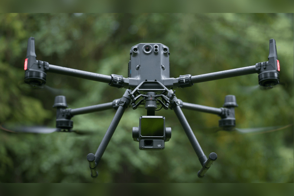
DJI Matrice 350 RTK carrying a Zenmuse L2 LiDAR payload over a wooded landscape.

Drone-Based LiDAR for Forestry in Canada: A Practical Guide

Cameras can't see through trees — LiDAR can. This guide covers drone LiDAR for Canadian forestry: canopy penetration, timber volume, terrain modelling, carbon inventory, recommended platforms, and the software stack from raw point cloud to deliverable.
by Unmanned Canada on August 02, 2026
0
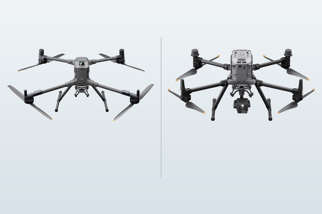
DJI Matrice 400 vs Matrice 350 RTK: Which Enterprise Drone is Right for Your Operation?

DJI Matrice 400 vs Matrice 350 RTK: Which Enterprise Drone is Right for Your Operation?

The Matrice 400 and Matrice 350 RTK are both proven enterprise platforms — but they're not interchangeable. This guide compares specs, key differences, payload compatibility, and use case fit to help Canadian operators choose the right platform for their program.
by Amir Kadir on August 02, 2026
0
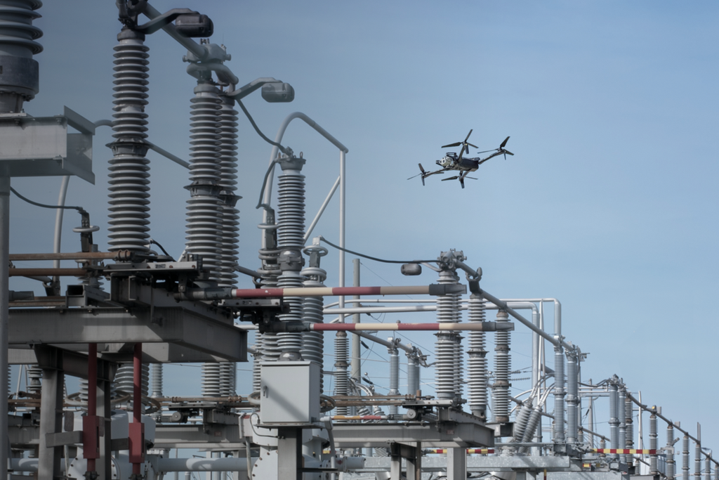
How to Build a Drone Program for Infrastructure Inspection in Canada

How to Build a Drone Program for Infrastructure Inspection in Canada

Powerlines, pipelines, bridges, and towers demand more than a standard drone. This guide covers platform selection, payload configuration, BVLOS authorization, and Transport Canada compliance for building a reliable infrastructure inspection program in Canada.
by Unmanned Canada on August 02, 2026
0
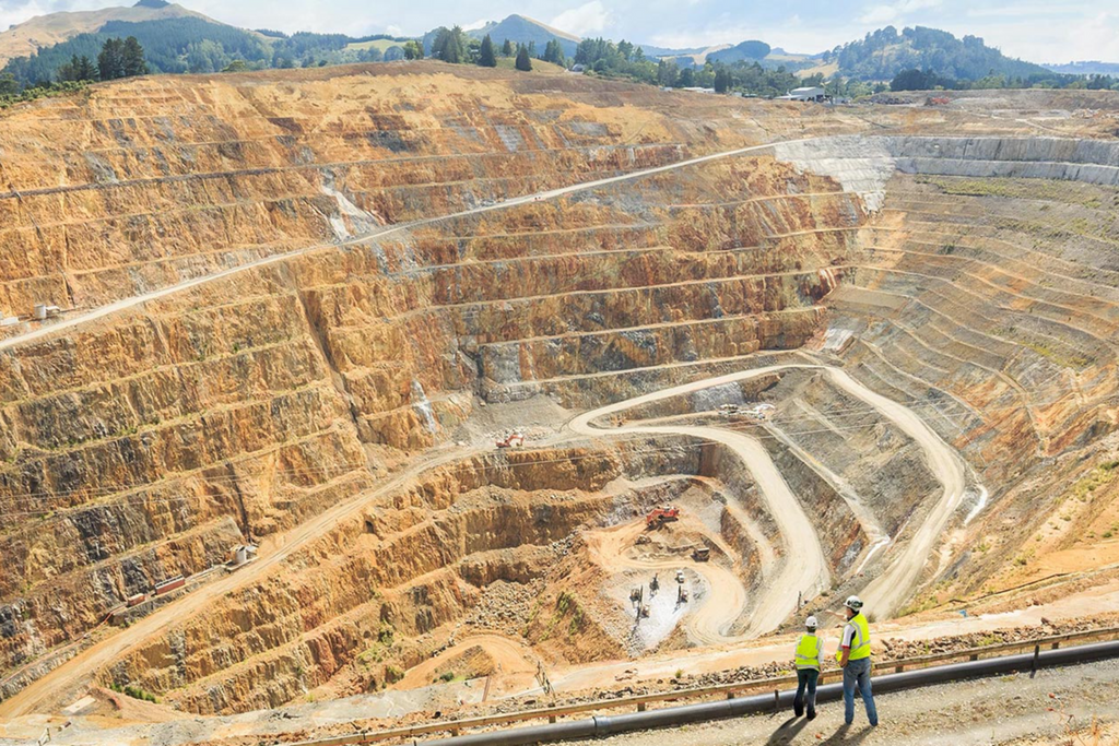
How to Choose an Enterprise Drone for Mining & Aggregates Operations

How to Choose an Enterprise Drone for Mining & Aggregates Operations

Selecting a drone for mining operations requires more than comparing specs. This guide covers RTK accuracy, IP ratings, payload options, BVLOS requirements, and the DJI platforms best suited for Canadian mine sites and aggregates operations.
by Unmanned Canada on August 02, 2026
0
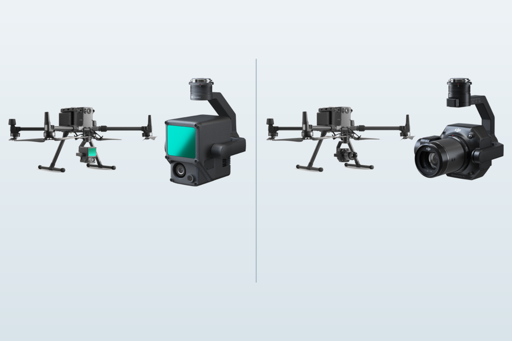
DJI Matrice drones with Zenmuse L1 LiDAR and P1 photogrammetry payloads shown side by side.

LiDAR vs Photogrammetry for Surveying: Which Technology Is Right for Your Project?

LiDAR and photogrammetry both deliver professional survey results — but the right choice depends on your terrain, deliverable, and budget. This guide breaks down accuracy, use cases, cost factors, and recommended DJI platforms for Canadian survey conditions.
by Mark Manzanero on August 02, 2026
0

BLOGS

ABOUT

Unmanned Canada is Canada's leading provider of enterprise drone solutions — offering aerial surveying, LiDAR services, drone sales, and pilot training. Based in Ontario, we serve industries across the country with precision technology and expert support.

READ MORE

TAGS

    NEWSLETTER SIGNUP

    Sign up for our e-mail and be the first who know our special offers! Furthermore, we will give a 5% discount on the next order after you sign up.

    BACK TO TOP