
Industrial Drone Solutions
View all-

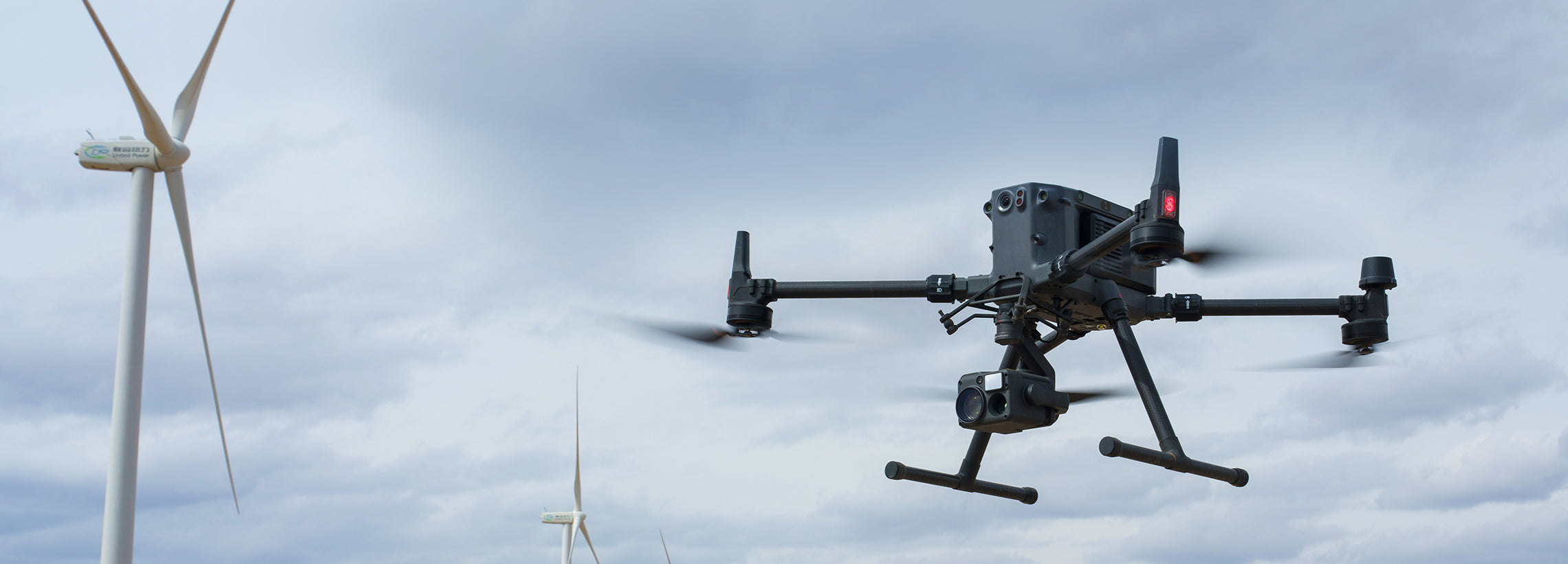
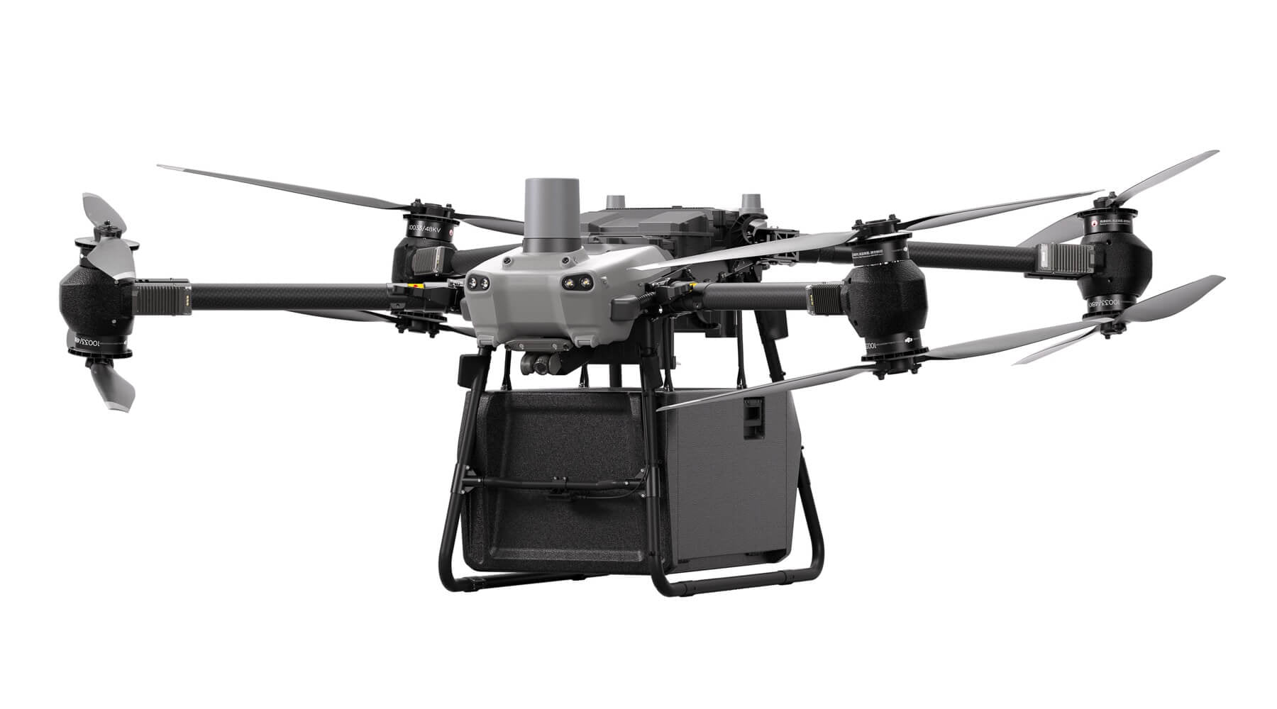
Matrice 30 Series
Matrice 30 Series Drone and Accessories
-

Chasing M2 Pro Max ROV
Chasing M2 Pro Max Underwater ROV


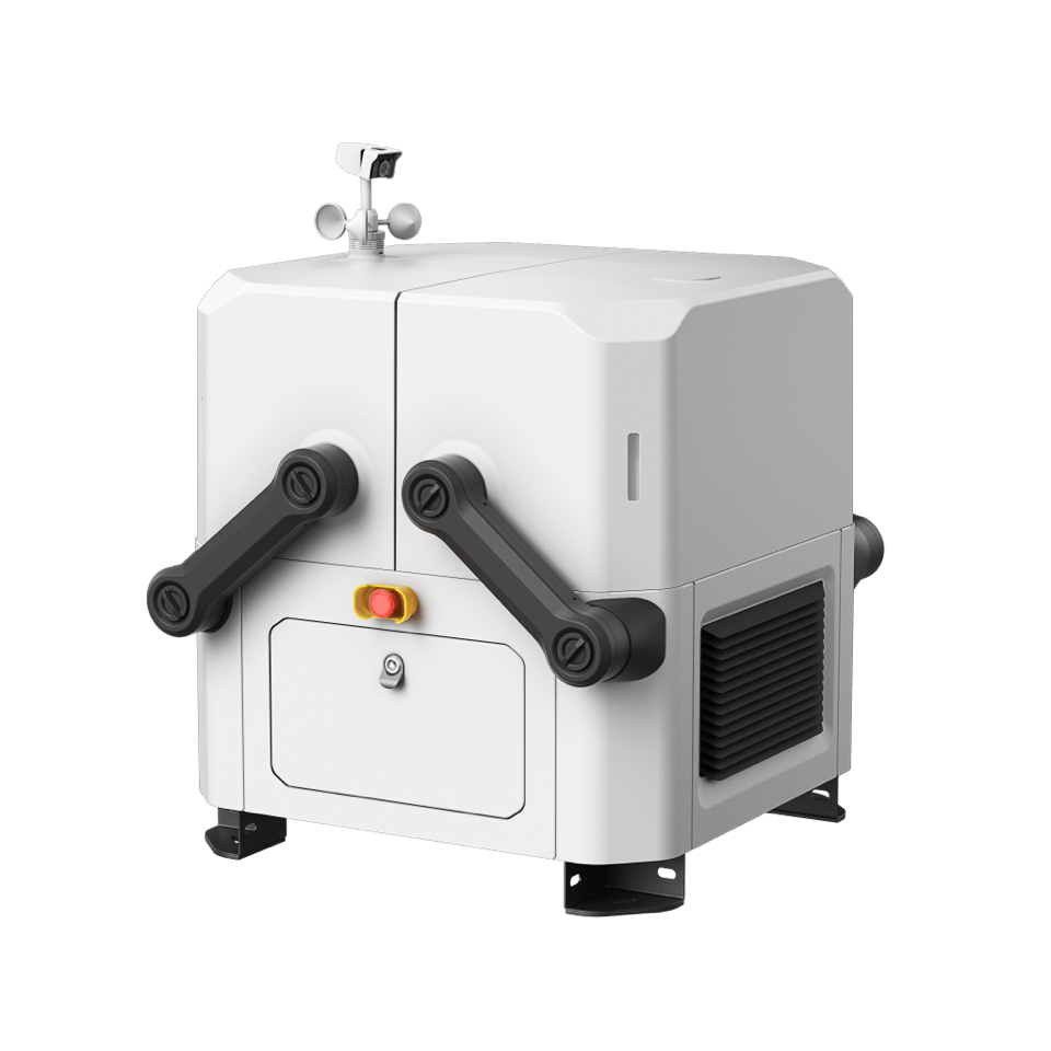
DJI Dock
Optimize Remote Operations with the Ultimate DJI Dock Solution. Maximize operational capabilities with the advanced features of the DJI Dock. Enhance your productivity with the cutting-edge technology of the DJI Dock, designed to streamline your remote operations.
DJI Enterprise Solutions - For Everyday Use
-
DJI Matrice 4 Enterprise (NA) SP Plus Combo
Regular price $6,229.00 CADRegular priceUnit price per -
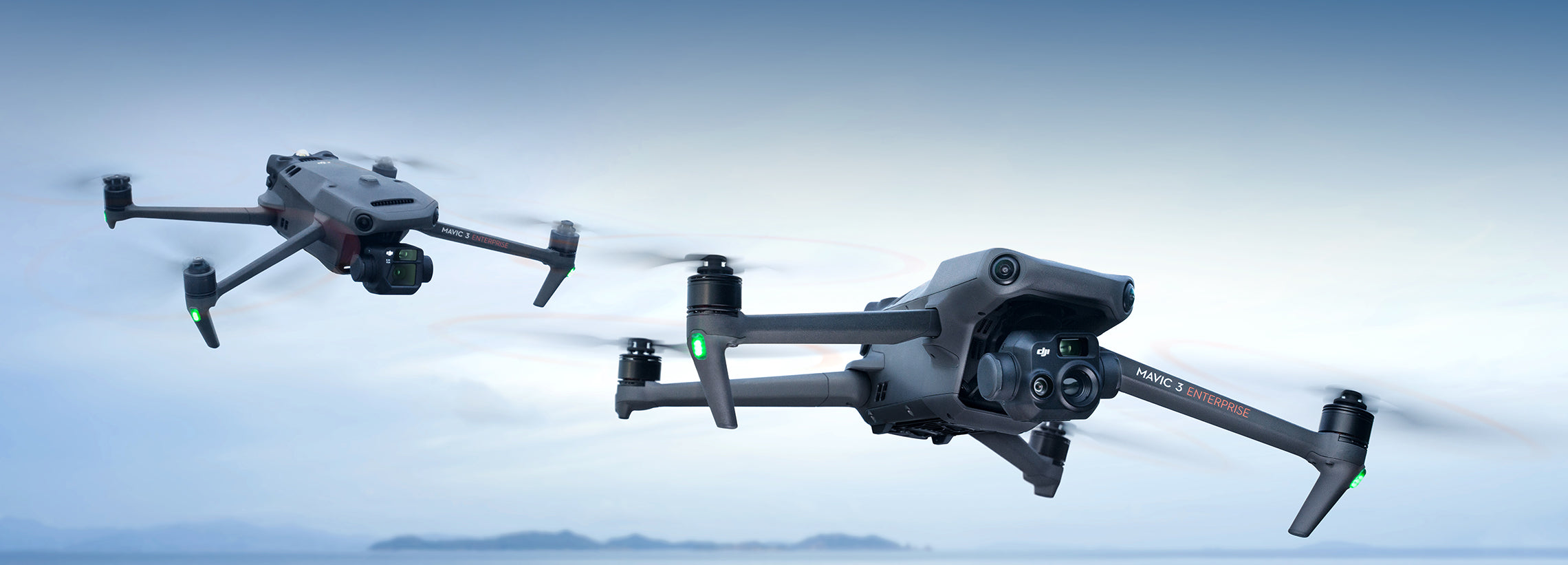
Mavic 3 Thermal Advanced
Regular price From $7,365.00 CADRegular priceUnit price per -
DJI Matrice 4 Thermal (NA) SP Plus Combo
Regular price $9,439.00 CADRegular priceUnit price per -
 Sale
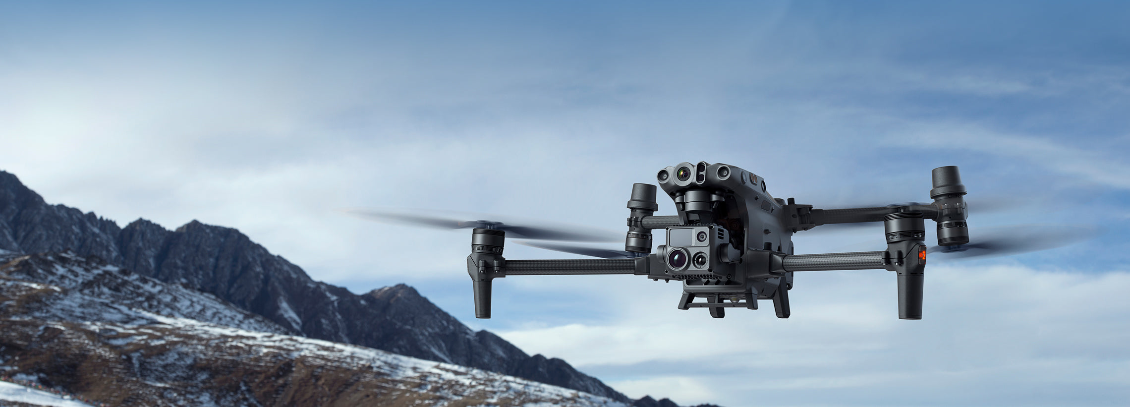
SaleDJI Matrice 30
Regular price From $9,595.00 CADRegular priceUnit price per$11,209.00 CADSale price From $9,595.00 CADSale -
DJI Matrice 400
Regular price From $10,479.00 CADRegular priceUnit price per


DJI FlyCart30
Specialized Drone Services
-
Aerial Survey & Mapping
Learn MoreAerial survey and mapping are valuable for urban planning, helping city planners assess land use and make informed decisions about zoning and development.
-
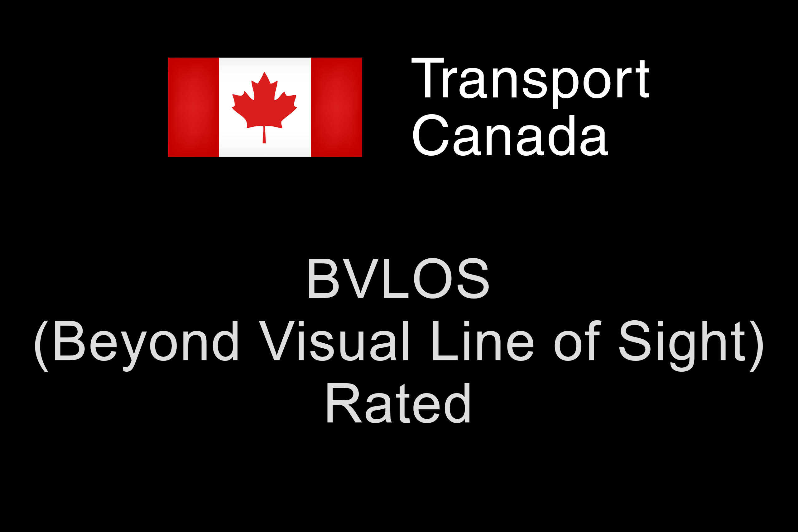
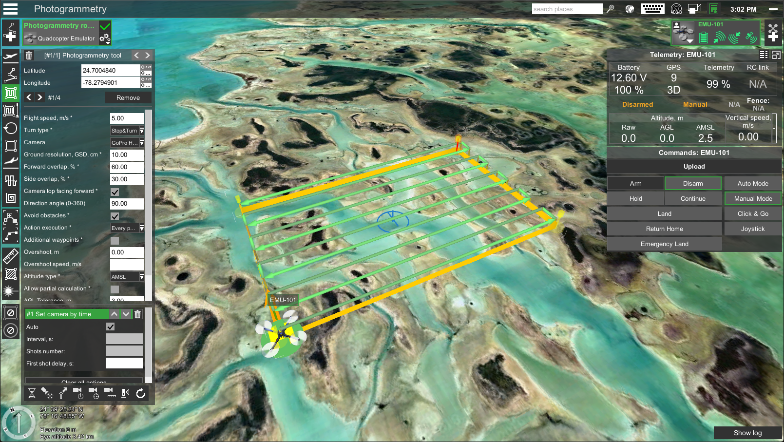
BVLOS Inspections
Learn MoreBVLOS inspections use unmanned aerial vehicles without direct visual contact, enabling efficient data collection over larger areas.
-
Search & Rescue Missions
Learn MoreThermal drones with infrared cameras can detect heat signatures of living beings, aiding in finding missing persons or survivors in remote areas.
-
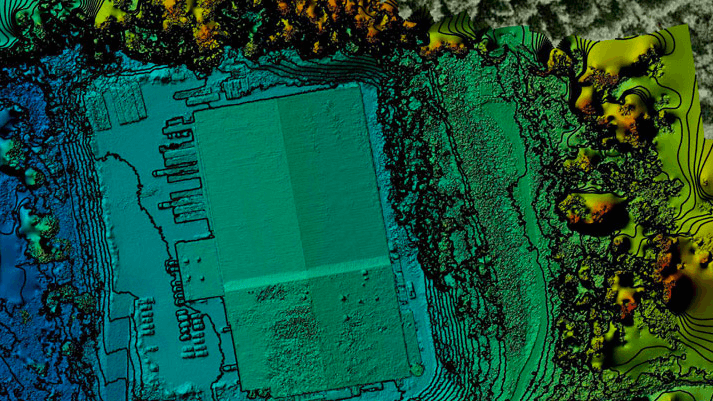
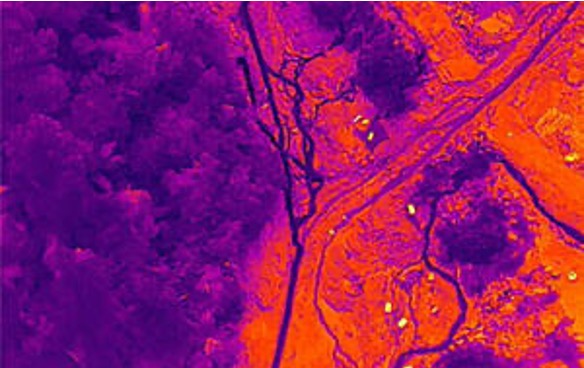
LiDAR Surveys
Learn MoreLiDAR surveys provide accurate spatial data for identifying terrain features and are valuable for engineering projects, flood modeling, land-use planning, and natural resource management.
-
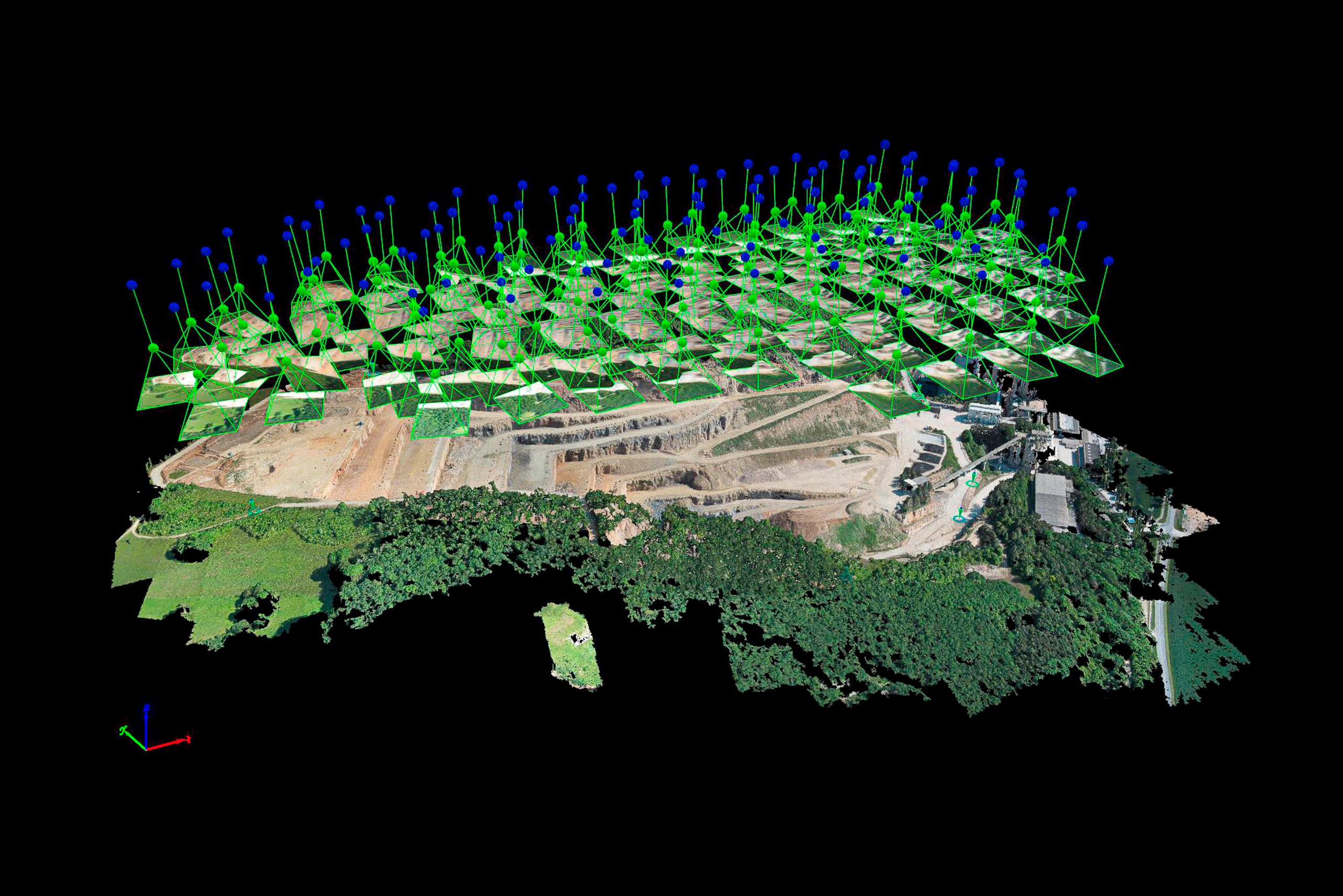
Point Cloud Intelligence
Learn MoreUtilize point cloud data from LiDAR or Photogrammetry for analysis. Point clouds are 3D data points representing object surfaces or terrains. Extract insights and information from dense datasets.
-
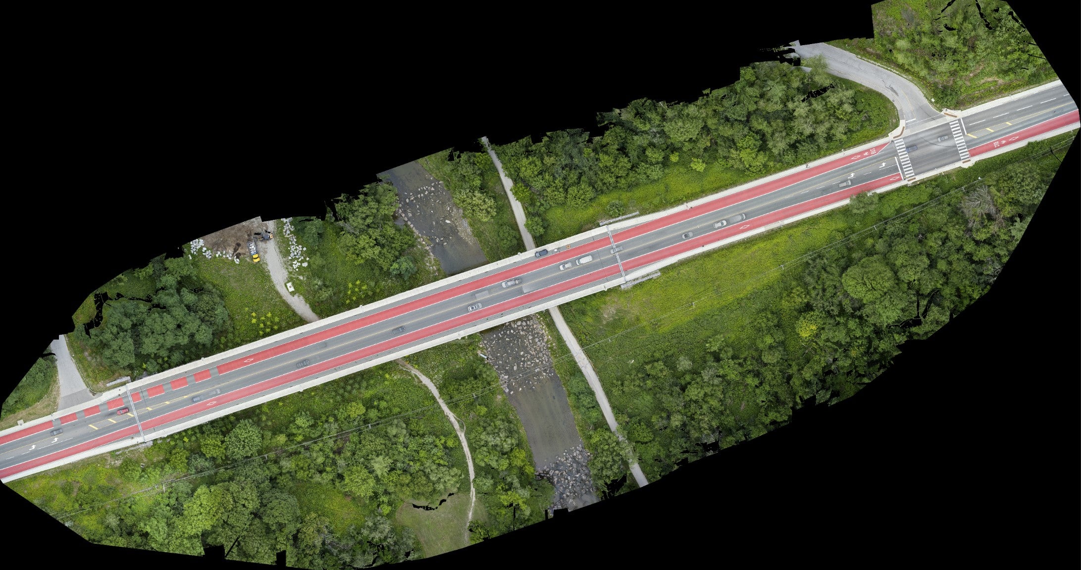
Orthomosaic (2D)
Learn MoreHigh-resolution images created by stitching together individual aerial photographs or images from drones, forming a precise georeferenced map free from distortions.


